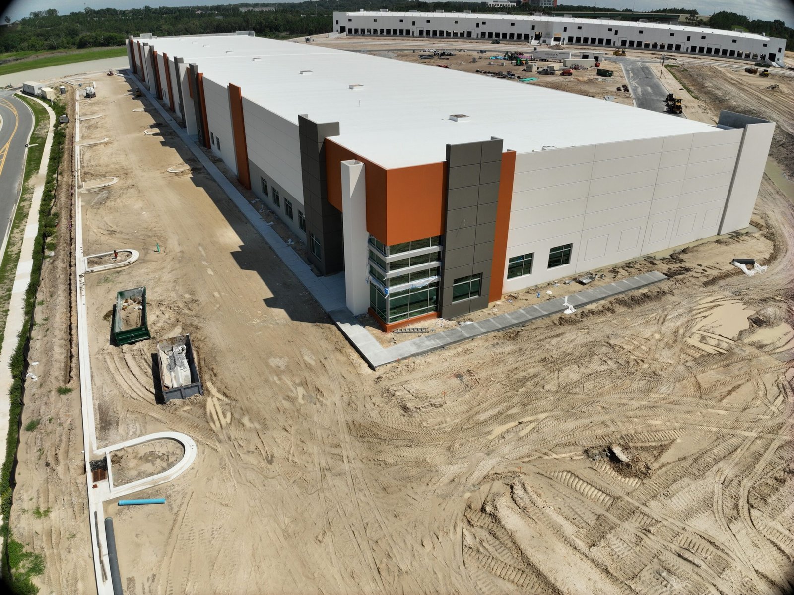
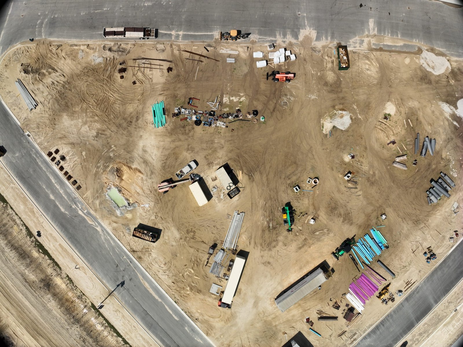
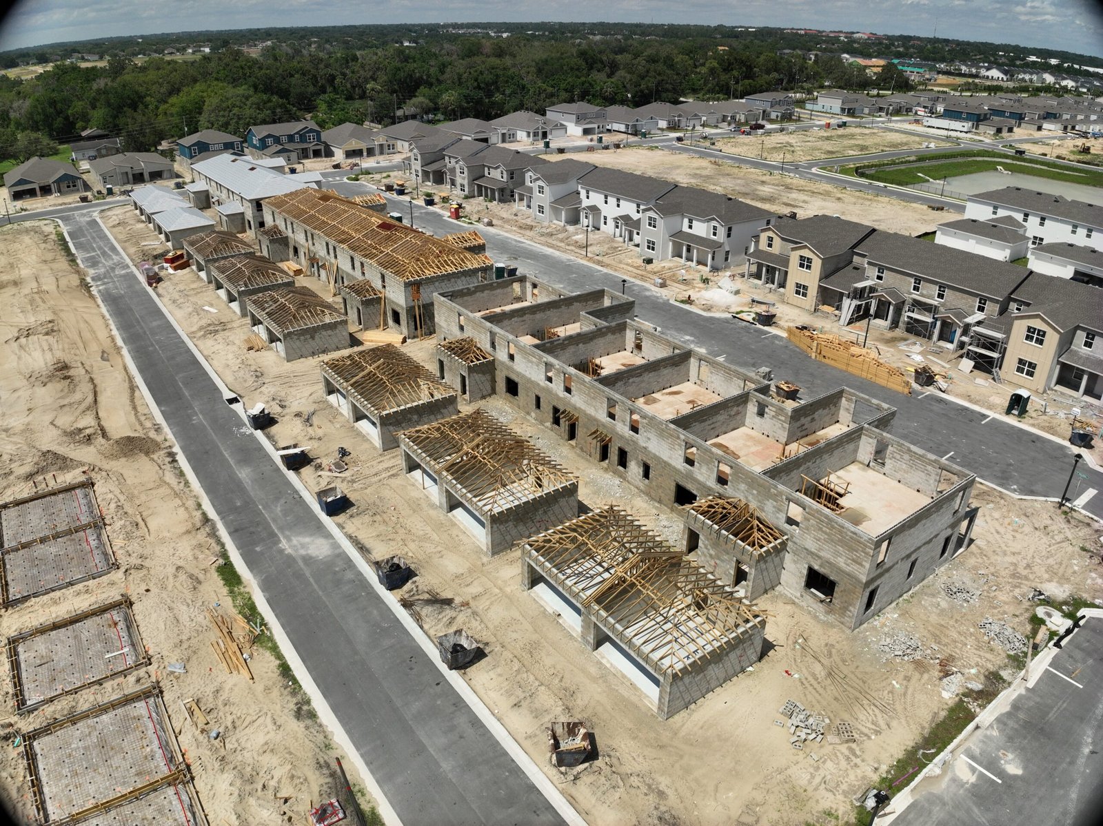
Explore our portfolio of high-resolution aerial images, 3D mapping snapshots, and infrastructure inspections captured by our drone experts.
All
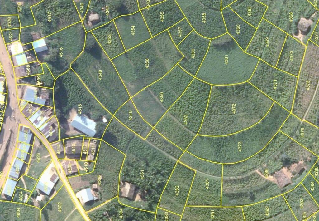
Progress Reporting
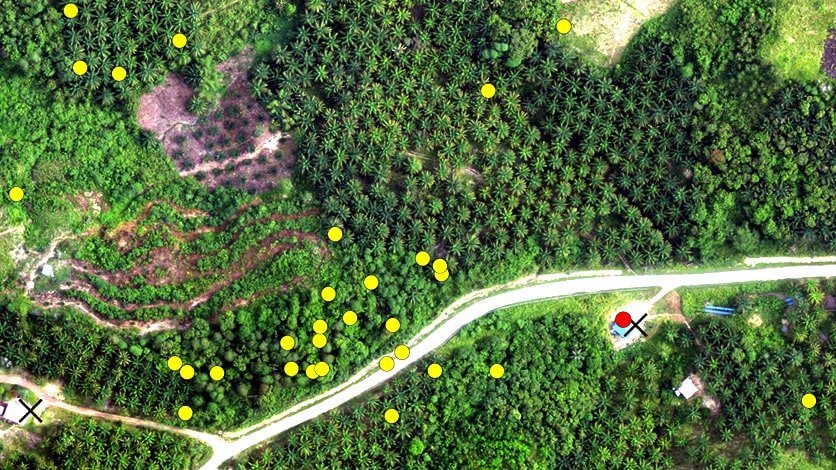
Precision Mapping
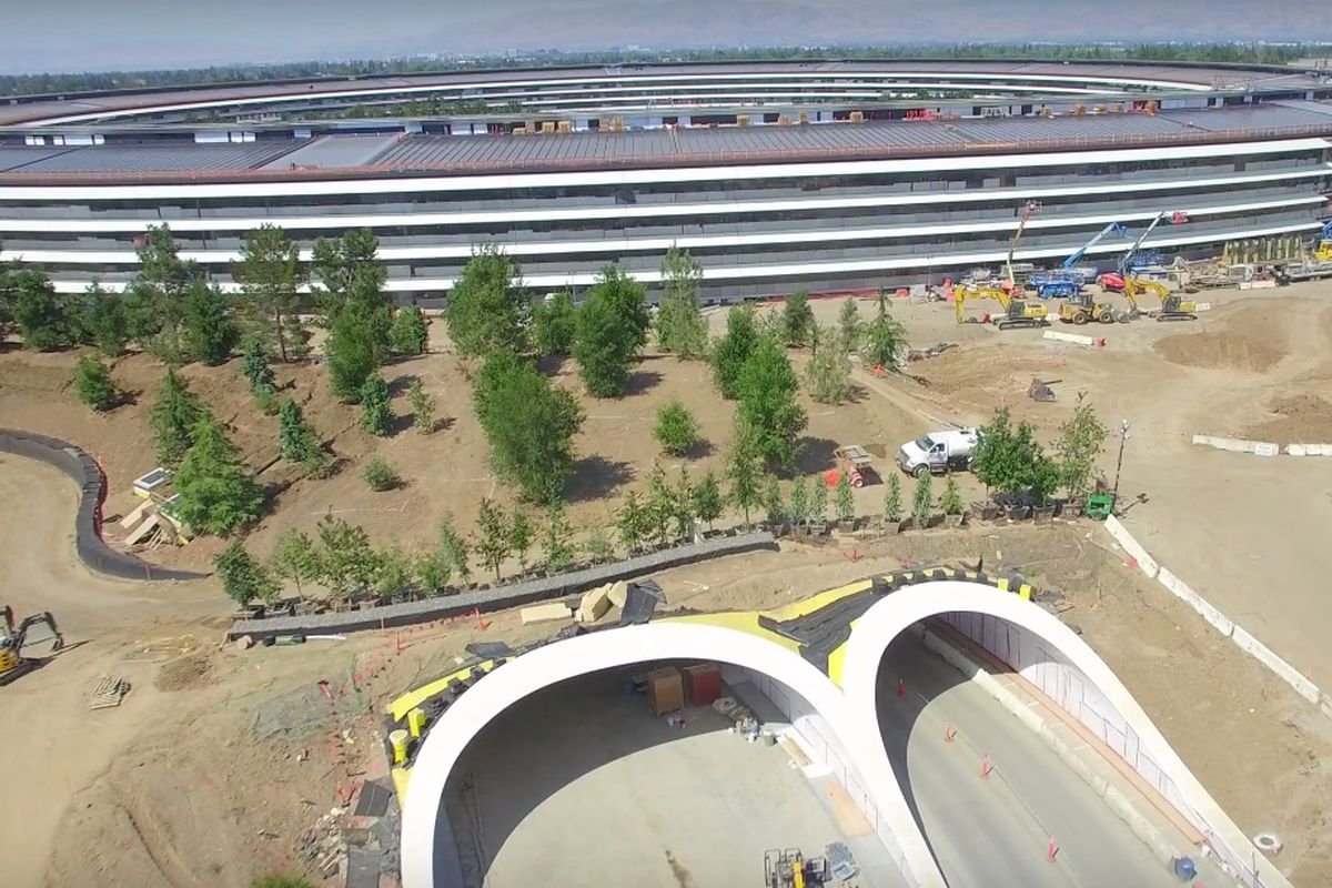
Infrastructure Inspections
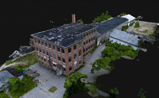
3D Models
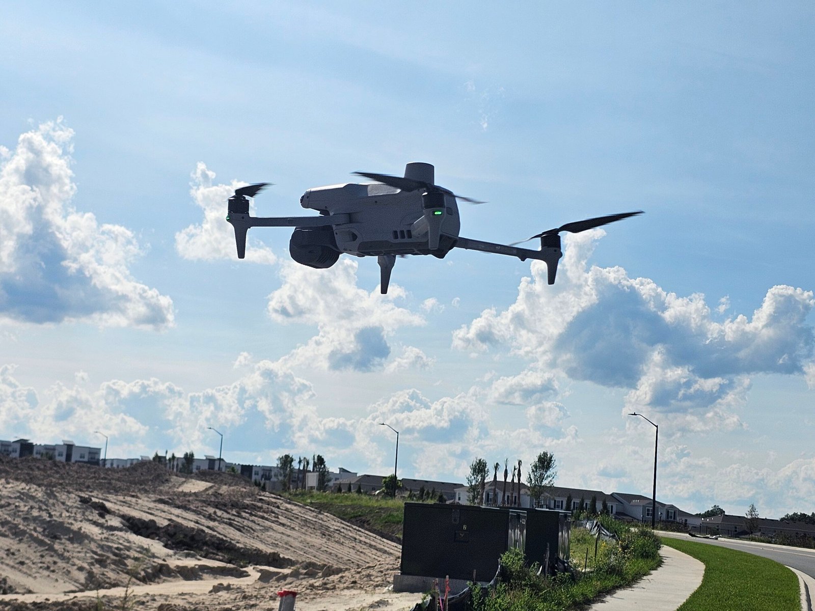
Our Tools Of the Trade
Ready to Elevate Your Project?
Take advantage of high-precision drone mapping, photogrammetry, and inspection services tailored for commercial needs across Florida. Reliable, fast and FAA-certified.