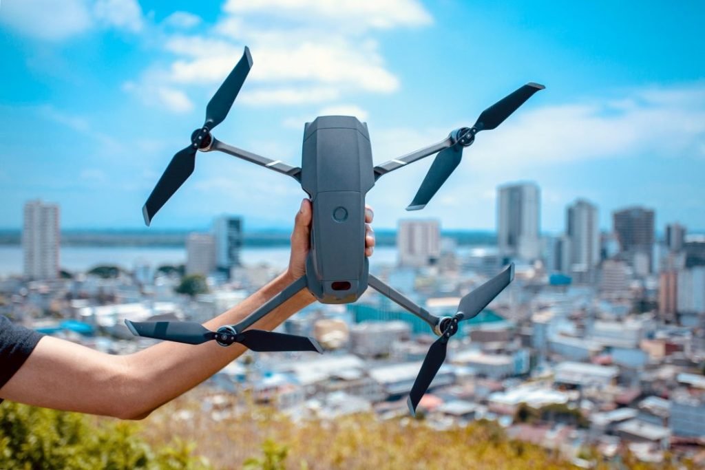
Based in Apopka, Florida, Venom Drone Services delivers accurate drone mapping and aerial inspections for construction, infrastructure, and commercial companies throughout Central Florida, we help you make smarter decisions from the sky.
Precision Data Collection
Capture detailed aerial data with high-resolution imagery and 3D models.
Cost-Effective Operations
Lower operational costs compared to traditional methods.
Fast Turnaround Times
Quick deployment and efficient data delivery.
Core Services
Progress Reporting
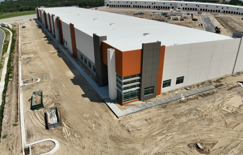
Monitor site development from above with high-resolution aerial data.
Precision Mapping
Generate detailed 3D terrain models to optimize project planning.
Infrastructure Inspections
Conduct safe, detailed inspections of bridges, towers and roads.
Ready to Elevate Your Project?
Take advantage of high-precision drone mapping, photogrammetry, and inspection services tailored for commercial needs across Florida. Reliable, fast, and FAA-certified.
We focus exclusively on drone services for industries such as Construction, and site Infrastructure. This specialization means you get expert-level precision and professionalism in every project.
Licensed & Insured Drone Pilots
Commercial-Grade Equipment
FAA-Certified
Scalable Solutions for Any Project
Fast Turnaround Time
Hear From Our Clients
David Max
Venom Drone Services provided fast and accurate drone mapping for our site. Their work helped us plan better and save time.
Daniel Lee
I trust Venom Drone Services for all our aerial inspections. Their team is professional and delivers precise results every time.
Sophia Martinez
Venom Drone Services gave us clear, detailed 3D maps that improved our project decisions significantly. Really appreciate it.
James Carter
The quality of work from Venom Drone Services is excellent. Their drone surveys are reliable and helped our construction process.
See Real Results from the Sky
Take a look at our recent projects featuring drone mapping, aerial inspections and 3D modeling. Our gallery showcases the precision, detail, and visual power behind every mission we fly.
Ready to get started or have a question about your project? We are
always happy to have a conversation—no obligation, just straight
answers and practical advice.