About Us
Who We Are
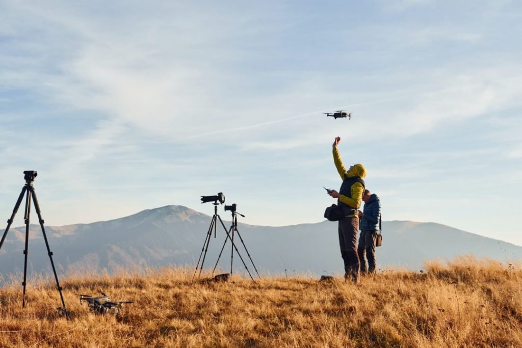
At Venom Drone Services, we're more than just drone pilots — we're your Aerial Data Partners. Based in Apopka, Florida we specialize in delivering high-accuracy Ortho's, 3D mapping, and Aerial inspections for Commercial, Real Estate & Infrastructure projects across Central Florida
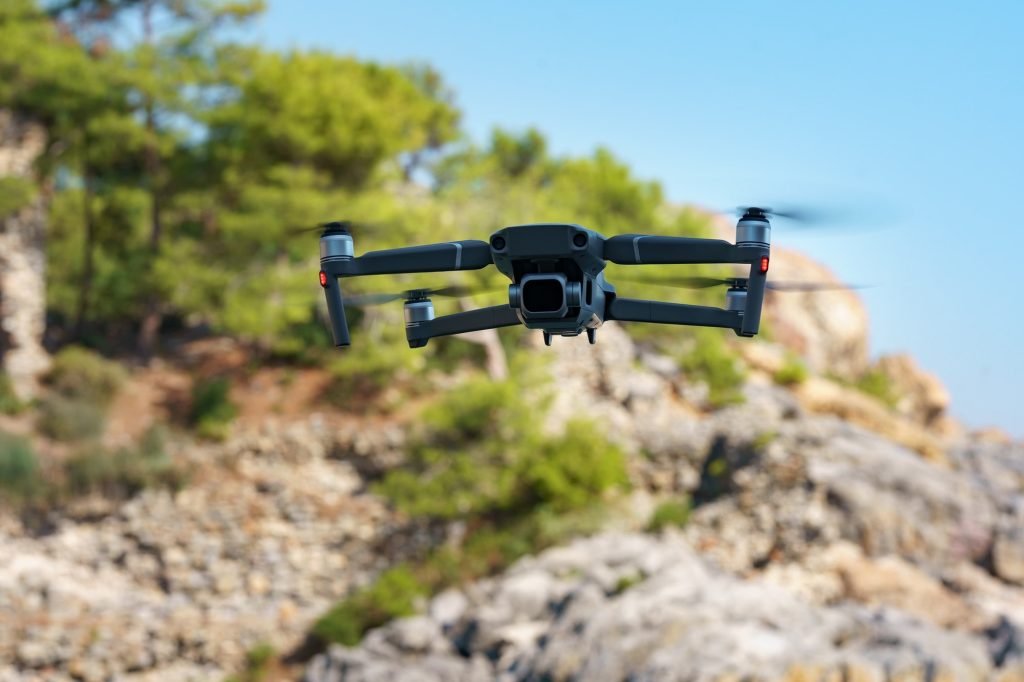
Our team is fully FAA-certified, insured and equipped with the latest commercial-grade UAV technology. Whether were monitoring construction progress, inspecting infrastructure or creating precise mapping models, we will provide the expertise and clarity needed to help you make smarter decisions from the sky.
Our Mission
Our mission is to elevate commercial operations by delivering fast, reliable, and actionable aerial data. We aim to simplify complex site conditions, increase operational safety, and reduce project delays through professional drone solutions tailored to your industry.
To empower construction, infrastructure, and engineering teams with high-accuracy aerial data solutions that improve planning, reduce risks and save time.
What Sets Us Apart
FAA-Certified & Fully Insured
Safety and compliance are at the heart of every mission we fly.
Commercial-Grade Equipment
We utilize industry-leading UAVs and imaging software to deliver professional-grade results.
Real-Time Insights
Quick turnaround times and detailed data delivery to keep your projects on track.
Client-First Approach
We collaborate closely with clients to tailor every project to their specific goals.